Northern Ireland weather warning is updated as Met Office forecasts more snow
and live on Freeview channel 276
The Met Office’s yellow warning will now last from 9am on Thursday until 6am on Friday morning.
Forecasters say rain, sleet and snow falls are expected to bring some travel disruption which could involve traffic delay and potential impact on public transport.
Advertisement
Hide AdAdvertisement
Hide AdRoad users have been urged to take care when travelling, particularly when driving on untreated roads as temperatures are set to fall.
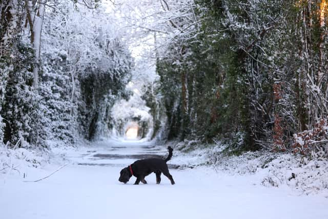
Pedestrians are also warned of potentially slippery surfaces.
The Department for Infrastructure confirmed that salting of roads on the scheduled network considered to be at risk was carried out on Wednesday evening and again in the early hours of Thursday morning.
The updated weather warning has indicated the potential for an increased amount of snow, with possible drifting.
Advertisement
Hide AdAdvertisement
Hide AdThe Met Office said Thursday will begin dry, but cloud will soon thicken to bring rain, sleet and snow from the south. There will be some snow to lower levels at first, but there is a risk of heavy falls over hills and higher routes, with some drifting as easterly winds strengthen.

Rain and hill snow becoming patchy on Thursday evening, but will turn more prolonged and heavier again overnight. There is a further risk of significant falls over higher ground, but snow level rising a little. The minimum temperature will be 0 °C.
The forecast for Friday is cloudy with rain and hill snow, prolonged and locally heavy at first but becoming increasingly patchy through the day and the easterly winds will gradually decrease. The maximum temperature is likely to be 4 °C.
Comment Guidelines
National World encourages reader discussion on our stories. User feedback, insights and back-and-forth exchanges add a rich layer of context to reporting. Please review our Community Guidelines before commenting.